

| States covered | Arizona, Utah, Nevada, Colorado, New Mexico |
| Entry fees | Vary by park; America the Beautiful annual pass covers most NPS sites (National Park Service) |
| Peak season | June–August for most parks; spring and fall are generally less crowded |
| Timed-entry permits | Required at several parks including Arches and Zion's popular trails (National Park Service, recreation.gov) |
| Elevation range | Roughly 2,400 ft (Grand Canyon river) to over 13,000 ft (Rocky Mtn adjacent parks) |
| Cell coverage | Unreliable to nonexistent in most backcountry areas; download offline maps |
How to Use This Guide
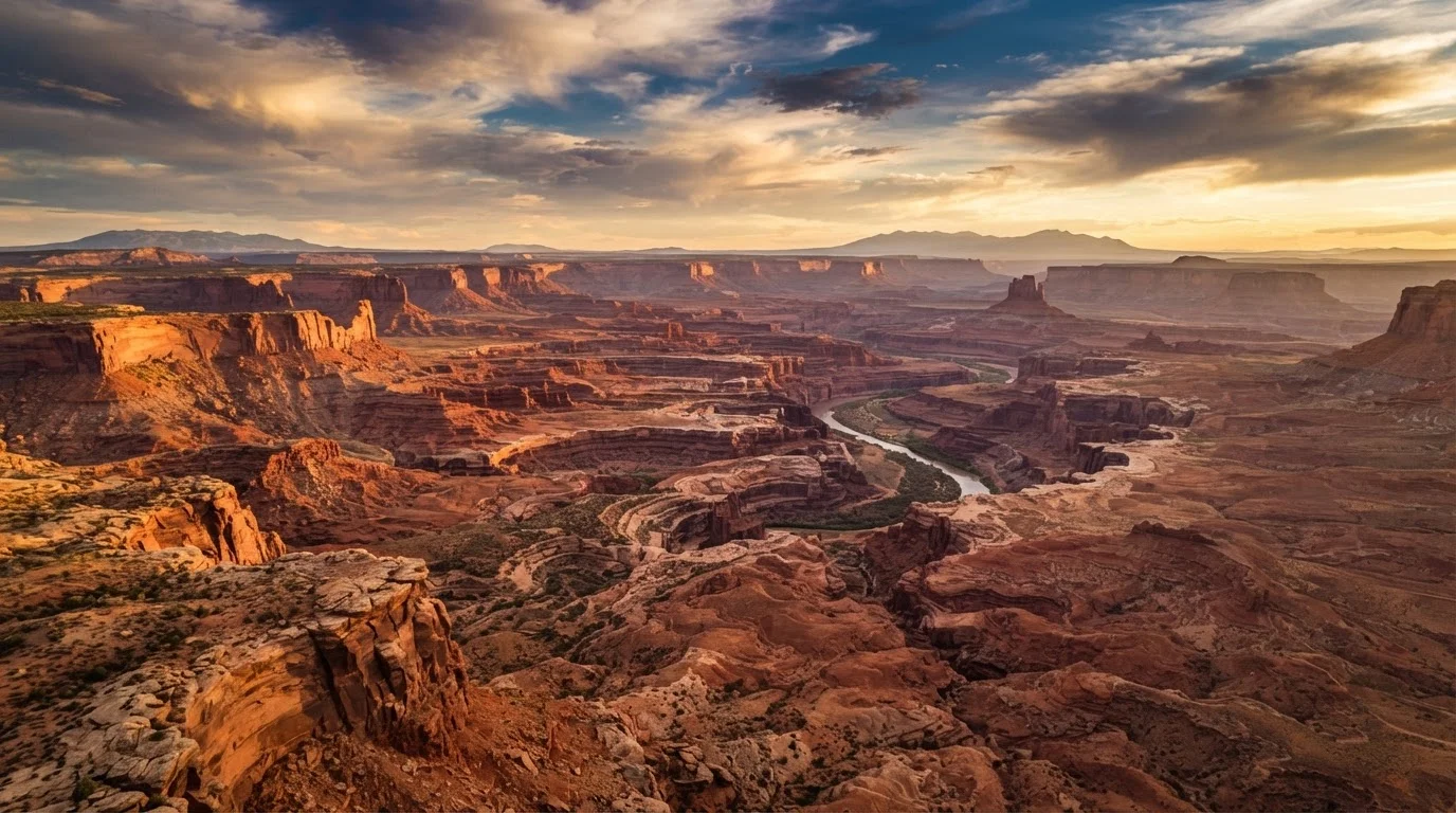
The American Southwest is home to more than a dozen national parks spread across Arizona, Utah, Nevada, Colorado, and New Mexico. Each park draws visitors for different reasons — some for canyon hiking, others for stargazing, slot canyons, or alpine meadows. This region-by-region overview describes what each major park is genuinely like: terrain, difficulty, crowd levels, and who tends to get the most out of visiting. It is not a booking guide, and conditions, fees, and reservation requirements change — always verify entry and permit details with the National Park Service before you travel.
| States covered | Arizona, Utah, Nevada, Colorado, New Mexico |
| Entry fees | Vary by park; America the Beautiful annual pass covers most NPS sites (National Park Service) |
| Peak season | June–August for most parks; spring and fall are generally less crowded |
| Timed-entry permits | Required at several parks including Arches and Zion's popular trails (National Park Service, recreation.gov) |
| Elevation range | Roughly 2,400 ft (Grand Canyon river) to over 13,000 ft (Rocky Mtn adjacent parks) |
| Cell coverage | Unreliable to nonexistent in most backcountry areas; download offline maps |
Arizona: Scale and Depth
Grand Canyon National Park is the region's most visited park and, for many travelers, the most disorienting in the best possible way. The South Rim is accessible year-round and suits first-time visitors; the North Rim is open roughly mid-May through mid-October and offers a quieter, forested experience at higher elevation. Hiking into the canyon is a fundamentally different undertaking than rim walking — descents are steep, temperatures at the bottom regularly exceed 110°F in summer, and the NPS explicitly warns against attempting rim-to-river day hikes in warm months. The canyon rewards visitors who plan beyond the overlook selfie.
Saguaro National Park, split into two districts flanking Tucson, is far less crowded and well-suited to travelers interested in Sonoran Desert ecology. It is best visited in fall through spring; summer heat is intense but the monsoon season in July–August produces dramatic skies and wildflower activity.
Utah: The Mighty Five
Utah's five national parks — Zion, Bryce Canyon, Capitol Reef, Canyonlands, and Arches — sit within roughly 300 miles of each other, making a multi-park road trip genuinely practical.
Zion National Park is the most popular and, in summer, one of the most congested parks in the country. Private vehicles are prohibited on the main canyon road during peak season; the park's free shuttle system is mandatory. The Narrows (a canyon wade through the Virgin River) and Angels Landing (a chain-assisted summit with sheer drop-offs) are iconic but require advance permits. Zion suits hikers comfortable with exposure and crowds.
Bryce Canyon sits at 8,000–9,100 feet elevation and is cooler than the other Utah parks even in summer. Its hoodoo formations — thin spires of eroded rock — are best photographed at sunrise. The park is compact and manageable for families and less-experienced hikers.
Arches National Park near Moab contains more than 2,000 documented natural stone arches. Delicate Arch requires a timed-entry permit during peak season. The park is best experienced in spring or fall; summer midday temperatures on exposed sandstone routinely become dangerous for unprepared visitors.
Canyonlands, the largest Utah park, is divided into three districts with no road connections between them. The Island in the Sky district is the most accessible; the Needles district rewards backpackers. Expect genuine solitude relative to its neighbors. Capitol Reef is the least-visited of the five and offers fruit orchards (a legacy of Mormon pioneer settlement), petroglyphs, and dramatic waterpocket fold geology.
Nevada and Colorado: Contrasts Worth Knowing
Great Basin National Park in eastern Nevada is among the least-visited parks in the contiguous US — a deliberate choice for travelers seeking silence. It contains Nevada's only glacier remnant, ancient bristlecone pine groves (some exceeding 4,000 years old), and Lehman Caves, accessible only by ranger-led tours. The park sits at high elevation and has genuine dark skies, making it a credible stargazing destination.
Mesa Verde National Park in Colorado preserves the largest concentration of Ancestral Puebloan cliff dwellings in the US. Access to the most significant sites — including Cliff Palace — requires ranger-led tours that must be booked in advance. Mesa Verde is a cultural heritage site as much as a scenic one; visitors focused purely on landscape may find it different from their expectations. Approach it as a history experience first.
Hoodoo
A tall, thin spire of rock formed by differential erosion, most commonly seen at Bryce Canyon. Softer rock erodes from beneath a harder cap, leaving a pillar-like formation.
Timed-entry permit
A reservation system used by some national parks to limit the number of visitors entering during a specific time window. Required separately from general park admission at some sites.
Slot canyon
A narrow canyon carved by water erosion through rock, often only a few feet wide but dozens of feet tall. Common in sandstone regions of the Southwest; some require guided access.
Waterpocket fold
A 100-mile-long wrinkle in the Earth's crust found at Capitol Reef, created by tectonic uplift that tilted rock layers and exposed colorful sedimentary strata.
Ancestral Puebloan
The Indigenous peoples who inhabited the Four Corners region from roughly 100 CE to 1300 CE, known for cliff dwellings and mesa-top villages. Formerly and inaccurately called Anasazi in older literature.